Energy & Critical Infrastructures

Space technologies can ensure the security of energy and critical infrastructure through the many related services involving positioning, navigation and timing (PNT) systems, geoinformation and satellite communications.

PNT services, for example, are widely used for timing and synchronization of critical infrastructure, such as telecommunications and power networks. These systems are in turn interconnected to telecommunications satellites, both commercial and government, from which they derive connectivity services. 

In such an interconnected and complex ecosystem, it is clear that it is necessary to avoid failures and blackouts that can create serious economic damage, as well as serious risks to the safety and security of the public.

Moreover, high reliable and scalable satellite connectivity in remote sites, such as offshore platforms, is essential to ensure communication, as well as business continuity and assets monitoring, supporting sustainable and low-impact business development.

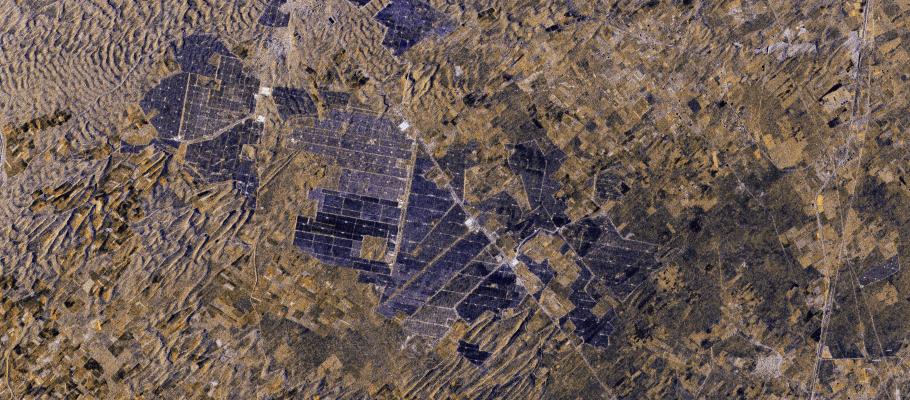
Geoinformation services are also crucial for monitoring territories affected by energy and critical infrastructure. 

Infrastructure monitoring 

Impact reduction on the environment 

Network analysis

Multi-source data analysis

Decision makers support

Business continuity

Extraction of underground resources, for example, cause deformation of the terrain over the site and satellite can detect the deformation over time to avoid damages to infrastructures and buildings and to control the extraction and injection process.

Mining sites are dynamic and highly challenging environments requiring great attention to avoid management failures affecting safety of staff, environmental impact of the mining activities and production down-time.

Also, buildings and other critical infrastructures may suffer of deformations due to subsidence, seismic activities and structural failure.

Long pipeline are difficult to be monitored by standard systems: they would require  cameras and sensors systems, not feasible and too costly in installation and maintenance. 

SAR Change Detection analysis supports the identification of areas more subjected to changes and activities, guiding on site surveys by drone or teams on field.

Telespazio offers a wide range of Satellite Communications services, as well as, through e-GEOS and GAF, innovative Geoinformation digital platforms to monitor assets, infrastructure, territorial and smart cities and to help all stakeholders to achieve their sustainability goals.

Users

Oil&Gas onshore & offshore platforms

Mining

Energy companies

Utilities

Mobility & Transportation Infrastructures

Solutions

Connectivity

  • Secure services on a global scale
  • State-of-the-art proprietary and third-party equipment
  • Value added services
  • Support services

Drones based services

  • Remote area control

  • Surveillance services

  • Monitoring services

Geoinformation digital platforms

  • Land monitoring 
  • Ground motion assessments 
  • Status of infrastructure 
  • Continuous infrastructure monitoring

Navigation, Positioning & Timing Services

  • Time services

  • Remote location synchronization

  • Automation support

Satellite Data

Telespazio, through e-GEOS and GAF, offers the best-in-class radar and optical satellite data from the major satellite constellations, including COSMO-SkyMed First and Second Generation.

Learn more
Telespazio
Via Tiburtina 965, Rome (Italy)
For any further information about our products and solutions
Contact Us