With URANO in Italy drones are included in the national air traffic management system

06 May 2022

URANO is a research project funded by the Italian Space Agency with the technical assistance of ENAV, implemented by Telespazio in partnership with Leonardo

Guaranteeing adequate safety standards and the utmost precision at every stage in flight with satellite navigation systems, particularly Galileo, RPAS (Remotely Piloted Aircraft Systems) and UAS (Unmanned Aircraft Systems), integrated into Italy’s national ATM - Air Traffic Management system.

This is the goal of the URANO research project (the name stands for Uas/Rpas integrAti Nel sistema ATM NaziOnale, meaning UAS/RPAS integrated in the national ATM system), presented today at the airport in Grottaglie (Taranto) created by Telespazio in collaboration with Leonardo, funded by the Italian Space Agency (ASI) with the technical support of ENAV.

“The test results reveal the value of the prototype demonstrator’s performance, both in the configuration using GPS/EGNOS and with Galileo. The results clearly reveal how use of the constellations, in the multi-constellation configuration, improve the performance and level of integrity of positioning data, ensuring a sufficient level of safety in line with the requirements of the mission and of operations”.

Marco Brancati, Head of Innovation and Technological Governance at Telespazio.
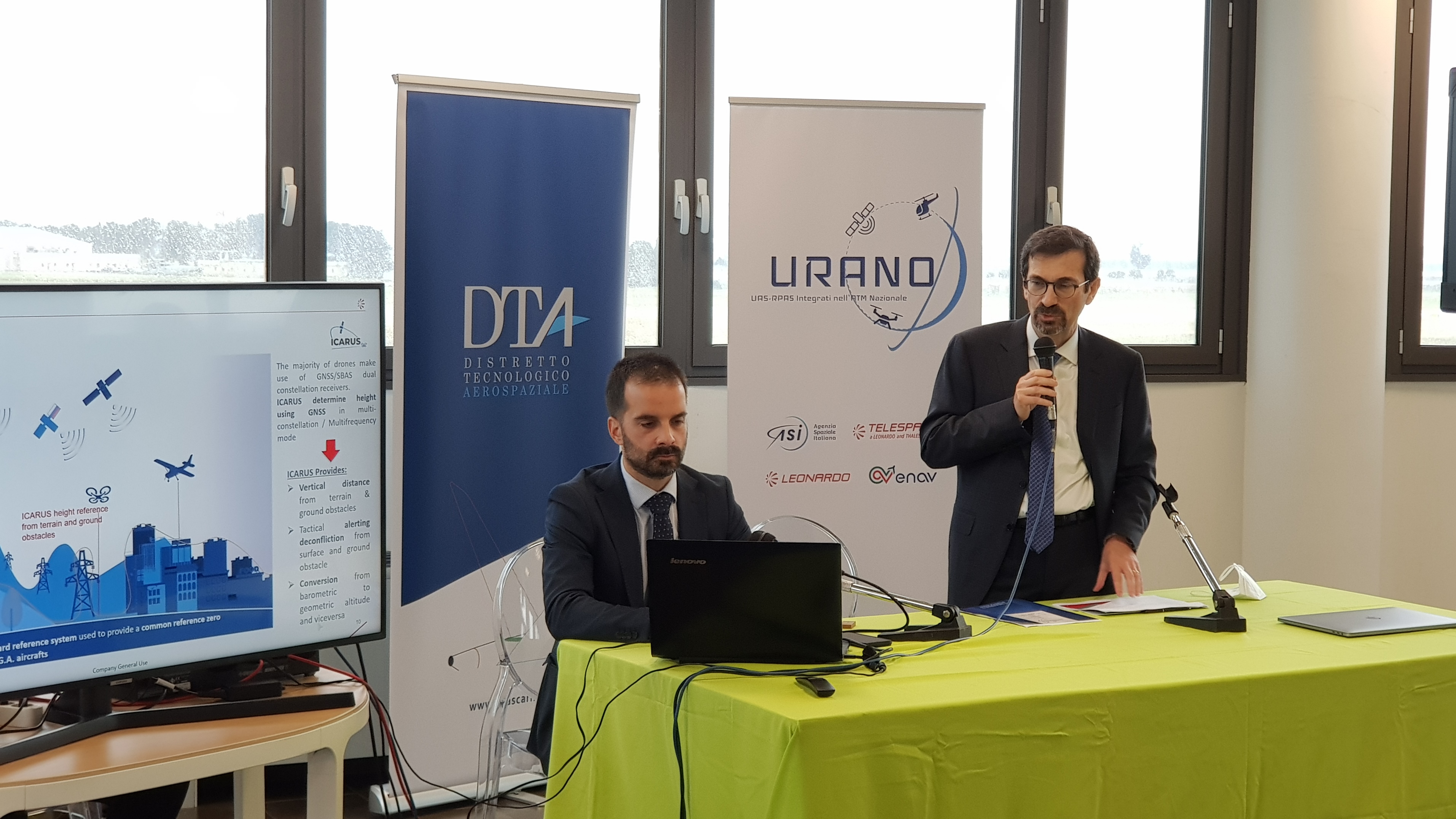
The project, now in the test flight phase, is intended to promote inclusion in Italy’s national air traffic control system, through use of GNSS systems such as GPS, EGNOS and Galileo, of remote piloted aircraft with a weight of more than 150 kg upon takeoff for use in civil operations.

Telespazio and Leonardo, with the support of partners Planetek and Distretto Tecnologico Aerospaziale (DTA), conducted the research through design, development, verification and validation of a prototype system for experimenting with and demonstrating the benefits of use of satellite navigation systems for drone missions integrated into the ATM system.

ENAV participated in the project by offering the necessary support, monitoring and technical revision of operations.

Flight tests were conducted with Leonardo’s remote-controlled SW-4 Solo helicopter. The multirole manned/remote piloted demonstration craft permitted development and customisation of instruments such as the Virtual Cockpit, an interface which may be used to monitor GNSS performance during drone operations; the GNSS Monitoring Tool, used to monitor the performance of navigation systems in geographic areas of interest; and integration of signals from the drone and GNSS parameters directly on the platform used for air traffic control operations.

The test flights and solutions identified were developed and tested in Grottaglie-Taranto airport.

As part of the project, a prototype demonstrator was developed on the basis of a GNSS system in a double constellation configuration capable of exploiting the features of the GPS/EGNOS system and the upgrade in the performance of Galileo, the European satellite navigation system. The results obtained reveal that GPS/EGNOS and Galileo are of key importance for guaranteeing levels of safety appropriate for the services that can be developed using the craft.

Other News & Stories

07.08.2025
Towards the Digital Twin of Italian Soil

Leonardo, through e-GEOS, a company owned by the Italian Space Agency (20%) and Telespazio (80%), will support the Department for Sustainable Development (DiSS) of the Italian Ministry of the Environment and Energy Security (MASE) in the development of a Digital Twin of the Italian territory. The initiative falls under PNRR investment M2C4 I.1.1, which focuses on the development of an advanced monitoring and forecasting system. This high-resolution digital model of the terrain, built using airborne laser surveys (LiDAR) and aerogravimetric data, will serve as a strategic asset for understanding the morphology of the land and will lay the foundation for future Digital Twins capable of simulating and further studying its behaviour.

31.07.2025
U-ELCOME: Hospital Drugs Delivered by Drones Take Off in Abruzzo

The operational phase of the drone-based hospital drug delivery service officially launched today in Abruzzo. The initiative is part of the European U-ELCOME project (U-space European COMmon dEpLoyment), co-funded by the Horizon programme, and aims to foster the widespread adoption of U-space services in European airspace, enabling safe and coordinated operations alongside traditional aircraft.

24.07.2025
Telespazio successfully completes the LEOP of EUMETSAT’s MTG-S1 weather satellite

Telespazio has successfully completed the LEOP (Launch and Early Orbit Phase) operations for the MTG-S1 weather satellite of EUMETSAT, launched on July 1st from Cape Canaveral.

17.07.2025
Telespazio and CNIT organize the first CNCG School on Satellite Navigation Systems

From October 7 to 10, 2025, Telespazio and CNIT – the National Inter-University Consortium for Telecommunications – will host the first CNCG School on Global Navigation Satellite Systems and Related Technologies at Telespazio’s headquarters in Rome.