Spaceopal, innovation in the GNSS sector

Spaceopal has created a true technological laboratory dedicated to GNSS innovation, research and development. NAVCAST and IONOLAB were initiated within this context.

29 October 2020

Global Navigation Satellite System (GNSS) systems and technologies are constantly and rapidly evolving.

For this reason Spaceopal, an equal-share joint venture between Telespazio and DLR Gesellschaft für Raumfahrtanwendungen (GFR) mbH and the prime contractor for the operational services of Galileo, the satellite navigation program of the European Union, has developed an engineering framework capable of proactively managing such evolution, declining it as a concrete path of “innovation”. 

On the basis of this paradigm, which guides its commitment in the provision of the Galileo Services, Spaceopal, together with its shareholders, has created a true technological laboratory dedicated to GNSS innovation, research and development.

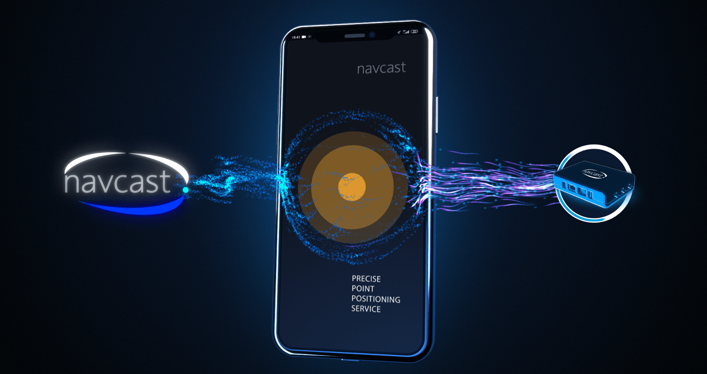
Innovative services, such as NAVCAST paired with IONOLAB, designed and developed to increase the accuracy of the Galileo and GPS GNSS systems (and also of Glonass and Beidou at a later stage), were initiated within this context.

In particular, NAVCAST corrects the GNSS clock, orbit and phase and code bias in real time by making use of PPP (Precise Point Positioning) techniques: this allows achieving accuracy of the order of 20 centimetres and short convergence times.

IONOLAB, on the other hand, provides data relating to the ionospheric activity of the planet and, thanks to these, corrects the delays due to the ionospheric effect, improving the positioning accuracy.

The integrated use of the two services is a fundamental element for the development of navigation, detection, remote guidance, sensor geo-referencing or scientific geodesy applications and in general for all high-precision services. The two services and related applications are available and active worldwide for individual users, specific customers and developers. In particular, they are provided to the international community to allow the development of new commercial applications based on high-precision positioning and navigation services.

Spaceopal has featured its own PPP receiver model, 3PRx, optimized for NAVCAST and designed for the professional world, as well as the smartphone app called NAVCAST – 3PGo. The latter, which can be downloaded free of charge from android app store, transforms the recipient mobile device into a high-precision receiver allowing everyone to benefit from optimized location services.


“Our mission is also to provide customers and partners with a long-term view of all the opportunities in the GNSS sector. As Spaceopal we interpret this commitment with great confidence to create new paths of innovation. Our techlab goes in this direction and allows laying the foundation for future GNSS applications and services to be explored.”

Emiliano Agosta, Technical Director of Spaceopal

Other News & Stories

09.10.2025
Winners of the Telespazio Innovation Award 2025 Announced in Rome

Engineering creativity and tangible space applications: the joint Innovation Award by Telespazio and Leonardo’s Space Division returns, celebrating the most visionary and promising projects of 2025.

06.10.2025
Renewed Assignment to Telespazio and e-GEOS for the Operational Management of the COSMO-SkyMed Satellite System of the Italian Space Agency (ASI) and the Ministry of Defence

Telespazio, as lead company of the Temporary Business Grouping (RTI) with its subsidiary e-GEOS (a joint venture between Telespazio and ASI) as partner, has been awarded the renewal of the Operational Management and Maintenance in Operational Conditions (MCO) activities of the COSMO-SkyMed satellite system, the Earth observation radar programme owned by the Italian Space Agency (ASI) and the Ministry of Defence.

26.09.2025
Telespazio leads the development of MINERVA, ASI’s national project for GNSS monitoring dedicated to drones

Telespazio plays a central role in the development of MINERVA, the project entrusted and funded by the Italian Space Agency (ASI) for GNSS signal monitoring in support of drone and remotely piloted aircraft navigation within Italian airspace.

24.09.2025
The Leonardo Group brings its excellence and innovation in Earth Observation to Australia

Leonardo, through e-GEOS, will introduce its high value-added Earth Observation solutions to the Australian and Indo-Pacific markets. The adoption of the most advanced geospatial technologies in the region will contribute to strengthening national resilience, environmental monitoring and digital transformation processes.