


The DiSS project aims to enhance the morphological knowledge of Italian territory and gravity field at a national level, relying on cutting-edge geoinformation solutions and the proven expertise of the Leonardo Group, a recognized leader in the sector for its technical skill and innovation capacity. In this context, the development of a model of the entire national territory represents a key enabler for a safer and more sustainable Italy, providing an unprecedented level of precision in understanding both surface and subsurface characteristics. The project marks a breakthrough in the integration of digital and geospatial technologies and reflects the Leonardo Group’s commitment to advancing innovative solutions for the country’s safety and sustainability. The resulting databases will meet virtually all public and private stakeholder needs for terrain and gravity field information nationwide. They will also ensure interoperability with previously developed and ongoing databases, promoting open access and reuse.
“Leonardo, thanks to its leadership in space, digital and Earth Observation technologies, is strongly committed to the development of Digital Twin solutions, integrating data collection, processing and information extraction capabilities with supercomputing, cloud, and artificial intelligence. This strategic project, driven by innovation, vision and collaboration across public, private, and academic sectors, lays the groundwork for a deeper and smarter understanding and management of the territory, in support of resilience and sustainability. Leonardo is committed to putting its expertise at the service of Italy and Europe”.Massimo Claudio Comparini, Managing Director of Leonardo's Space Division.
"With this project, e-GEOS, supported by Leonardo's vision, offers its experience managing large volumes of geospatial data to provide a concrete tool in support of the country's environmental and territorial policies. The digital twin will offer a precise, dynamic representation of the Italian territory, useful for studying the risks it involves and optimising intervention. We face this technological and operational challenge together with our partners, with a great sense of responsibility, as our way of contributing to a more sustainable and aware Italy."
Milena Lerario, e-GEOS CEO.
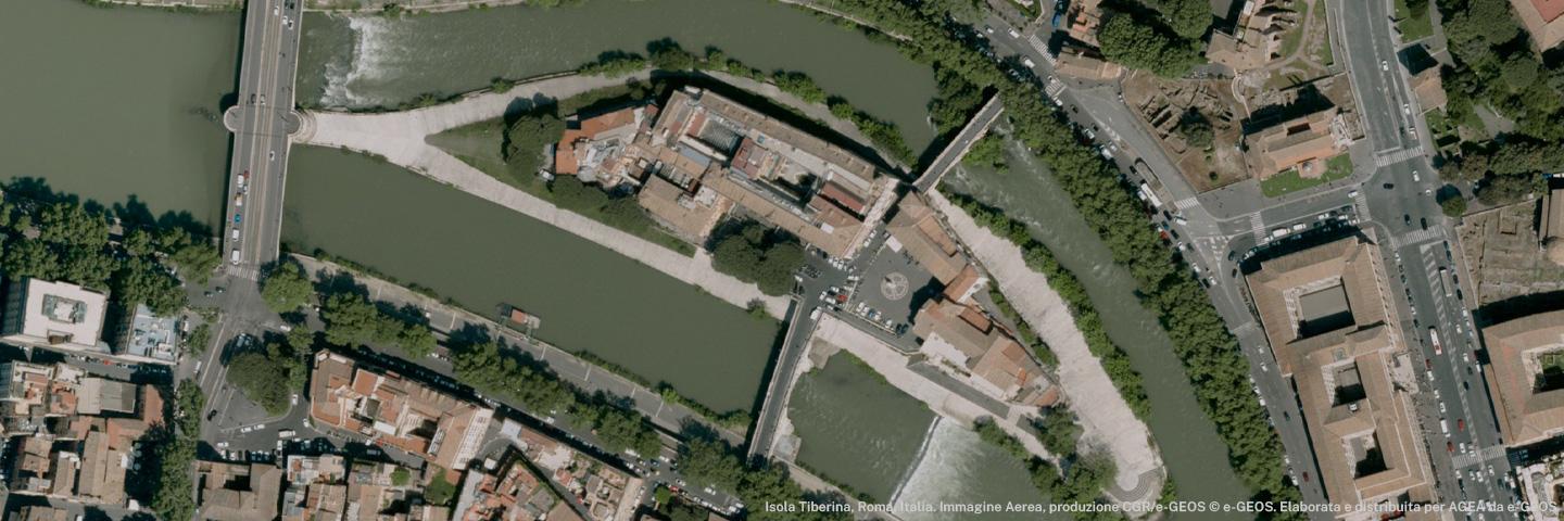
The map will be produced using aerial surveys. Laser Scanning LiDAR (Light Detection and Ranging) technologies will enable high-resolution mapping of land, infrastructure, soil morphology and surfaces. Aerogravimetric data will be key for developing the new national gravimetric database and defining the updated geoid model of Italy, which will also allow terrain models to be expressed in orthometric heights.
The digital model developed by the e-GEOS-led consortium will become a cornerstone of the integrated long-term monitoring and surveillance system, supporting territorial planning and environmental protection interventions, an increasingly urgent need as Italy faces growing hydrogeological instability phenomena. In addition to describing the land's morphology, the model will support slope stability analysis and hydraulic modelling, which are essential for delineating potentially flood-prone areas. Furthermore, the national gravimetric database and geoid will help improve the accuracy of positioning systems and subsurface analyses, including the identification of raw material deposits.