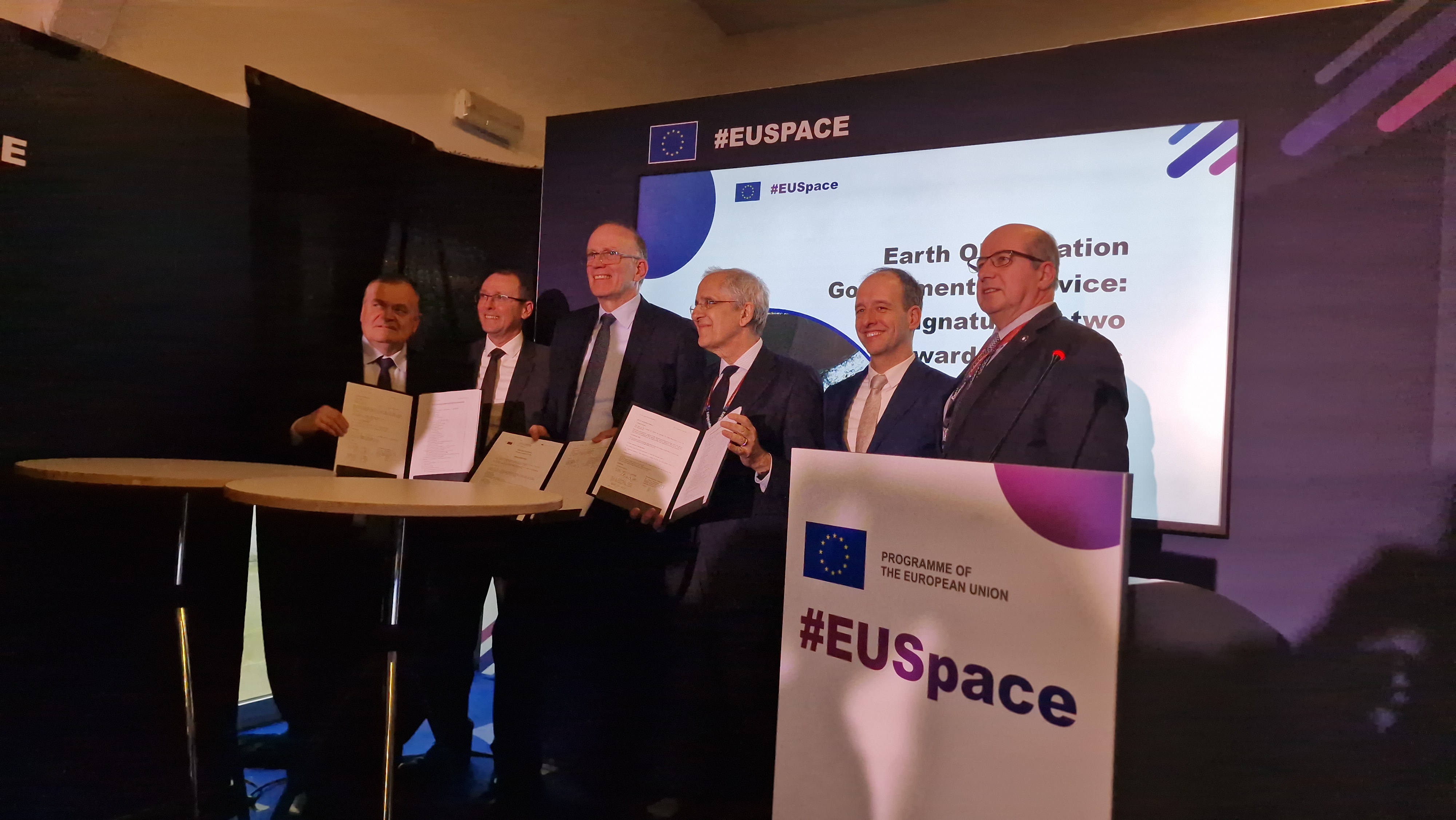
Together with Telespazio (Italy), the consortium includes Airbus (France), e-GEOS (Italy), Geoville (Austria), Hisdesat (Spain), Leonardo (Italy), PWC (France) and Thales Alenia Space (Italy).
The industrial team is also supported by highly qualified subcontractors such as Constellr (Germany), DefSecIntel (Estonia), Endurosat (Bulgaria), GAF (Germany), Hensoldt Analytics (Austria), ISDEFE (Spain), Planetek Hellas (Greece), Preligens (France), Spacemetrics (Sweden), Telespazio France (France) and Thales Alenia Space (France).

EU institutions and Member States will benefit from a geo-information infrastructure for sharing and producing added value data and products of very high quality, which can be used to provide new capacities in synergy with other European and national programmes and initiatives.
Additionally, highly advanced European technologies (such as secure cloud, data fusion and artificial intelligence) will be considered, ensuring the operational needs of the governmental user community can be met.
This feasibility study will allow the Commission to assess the different technical and programmatic options for the potential development of the service in the EU Multiannual Financial Framework 2028-2034.

