


Italy, through the Leonardo Group, plays a major role in the Copernicus programme. In addition to building several of its satellites — including Sentinel-1D, manufactured by Thales Alenia Space — Leonardo supplies numerous sensors and instruments developed in its facilities. The Group also contributes to the delivery of Copernicus services, collecting and analysing satellite data through its centres in Rome and Matera.
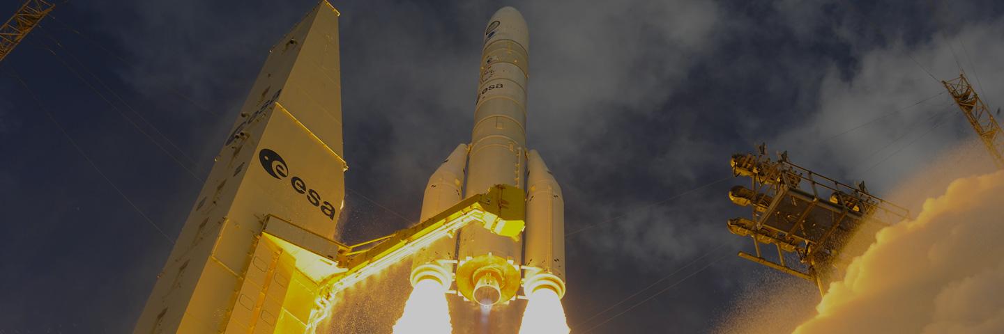
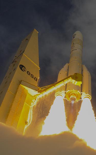
Built by Thales Alenia Space, a joint venture between Thales (67%) and Leonardo (33%), as prime contractor on behalf of the European Space Agency (ESA), Sentinel-1D will ensure the availability of strategic data for environmental monitoring, emergency management, and climate change research.
Leonardo contributed to the development of Sentinel-1D and its twin, Sentinel-1C, by providing Autonomous Star Trackers for attitude control and power units that supply energy to the radar, ensuring the continuous acquisition of images.
The Telespazio Group companies also played a key role in this mission. Telespazio France supported launch operations, ensuring that ground infrastructures were fully functional before and during the flight.
Telespazio Germany is contributing to the Launch and Early Operations Phase (LEOP), providing operational support and services for the ground segment.
As with other Sentinel-1 missions, the data will be received and processed, among others, by the Matera Space Centre, operated by e-GEOS — a joint venture between Telespazio (80%) and the Italian Space Agency (20%) — which is part of ESA’s Core Ground Segment.
Weighing approximately 2.2 tonnes, Sentinel-1D will operate in low Earth orbit at 700 kilometres and has a nominal lifetime of at least seven years. Like its predecessors, it is equipped with a C-band Synthetic Aperture Radar (SAR) capable of imaging the Earth’s surface day and night, in all weather conditions, with a resolution of up to 5 metres and a swath width of 400 kilometres. Sentinel-1D also introduces an innovative controlled deorbiting system, which separates the radar antenna from the satellite body during re-entry, contributing to the reduction of space debris.
The radar images provided by Sentinel-1D will serve multiple applications. The data will be used to monitor ground movements and infrastructure stability, observe ice sheets and polar regions to better understand the effects of climate change, support disaster management and civil protection operations, and track deforestation and the sustainable use of natural resources. The satellite will also strengthen Europe’s maritime monitoring and security capabilities through the integration of an Automatic Identification System (AIS) for ship tracking, which helps prevent collisions and monitor routes in sensitive areas.
With the launch of Sentinel-1D, Europe consolidates its autonomy in radar Earth observation and opens a new chapter in the Copernicus programme, set to continue with the second generation of Sentinel satellites already under development.