


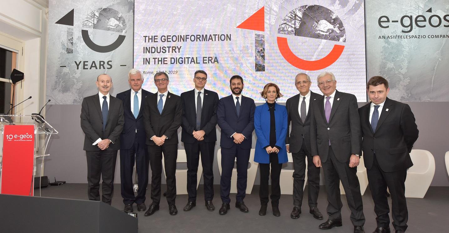
During a forum and a round table, speeches were given by, amongst others, the Undersecretary of the Ministry of Cultural Heritage and Activities, Lorenza Bonaccorsi, the Undersecretary of the Ministry of the Environment and Protection of the Territory and the Sea, Roberto Morassut, the Undersecretary of the Ministry of Defence, Angelo Tofalo, the Military Adviser of the Presidency of the Council, Admiral Carlo Massagli, the President of the Italian Space Agency, Giorgio Saccoccia, the President of Leonardo, Gianni De Gennaro, the CEO of Leonardo, Alessandro Profumo, the Coordinator of the Leonardo Space Activities and CEO of Telespazio, Luigi Pasquali and the CEO of e-GEOS, Massimo Claudio Comparini.
e-GEOS was founded in 2009 thanks to an agreement between the Italian Space Agency (ASI) and Telespazio, which contributed its own Earth Observation division for the company, with the aim of marketing the data generated by the Italian COSMO-SkyMed satellite radar constellation worldwide.
In less than a decade, e-GEOS experienced a significant growth of its activities to become one of the main international players in the field of geoinformation services. With the acquisition of GAF, a German company specialized in land and forestry management services, today e-GEOS operates from Rome, Matera and Neustrelitz and can rely on the capabilities and passion of over 500 professionals.
Massimo Claudio Comparini, CEO of e.GEOS, stated: "e-GEOS is a future-oriented reality in a sector subject to rapid changes and is an integral part of the development of a new space economy and of the digital transformation. Our company is no longer limited to delivering images acquired from space, combining them with added value; it evolves the services it provides towards products characterised by high information content and the world of analytics. For e-GEOS the future is already here today, and day after day we develop our worldwide activities thanks to the work of our teams and the support of our international partners".
e-GEOS, thanks to the development of proprietary algorithms and to the investments made in the digitization of its activities, integrates the broad spectrum of satellite data with the data generated by a multitude of sensors, a big-data lake from which significant information and indicators for a wide variety of sectors are extracted.
The services provided by e-GEOS, which are accessible online through User Experience driven modes, are dedicated to environmental protection monitoring, to the provision of rush maps for natural disaster management (mapcy), to Defence and intelligence products (braint), to maritime surveillance, oil spill and ship tracking services (SEonSE), to interferometric measurements aimed at controlling landslides, ground subsidence and infrastructure stability with integration of IoT sensors (AWARE), to thematic cartography for agriculture, forestry and precision farming (AgriGeo), to smart, resilient and sustainable services for urban areas (UrbanGEO), the most recent application, developed in 2019.
Among the latest milestones achieved by e-GEOS, there is the establishment, in 2018, of a Centre of competence on Data Analytics, which today has evolved into the company’s Geoinformation Artificial Intelligence Factory, a place where innovation and experience in the field of Earth observation, as well as evolution in the use of new technologies, merge to develop new digital services.
GeoHUB, an innovation network launched in collaboration with technological hubs, Universities, start-ups and research centres, has come into being in 2019. Finally, the company created CLEOS, a digital infrastructure providing access to the whole spectrum of services. CLEOS is intended as the "new digital marketplace", which allows customers to take full advantage of the digital services of the platforms and developers to quickly define new environments making use of the capabilities of Artificial Intelligence for information extraction.