

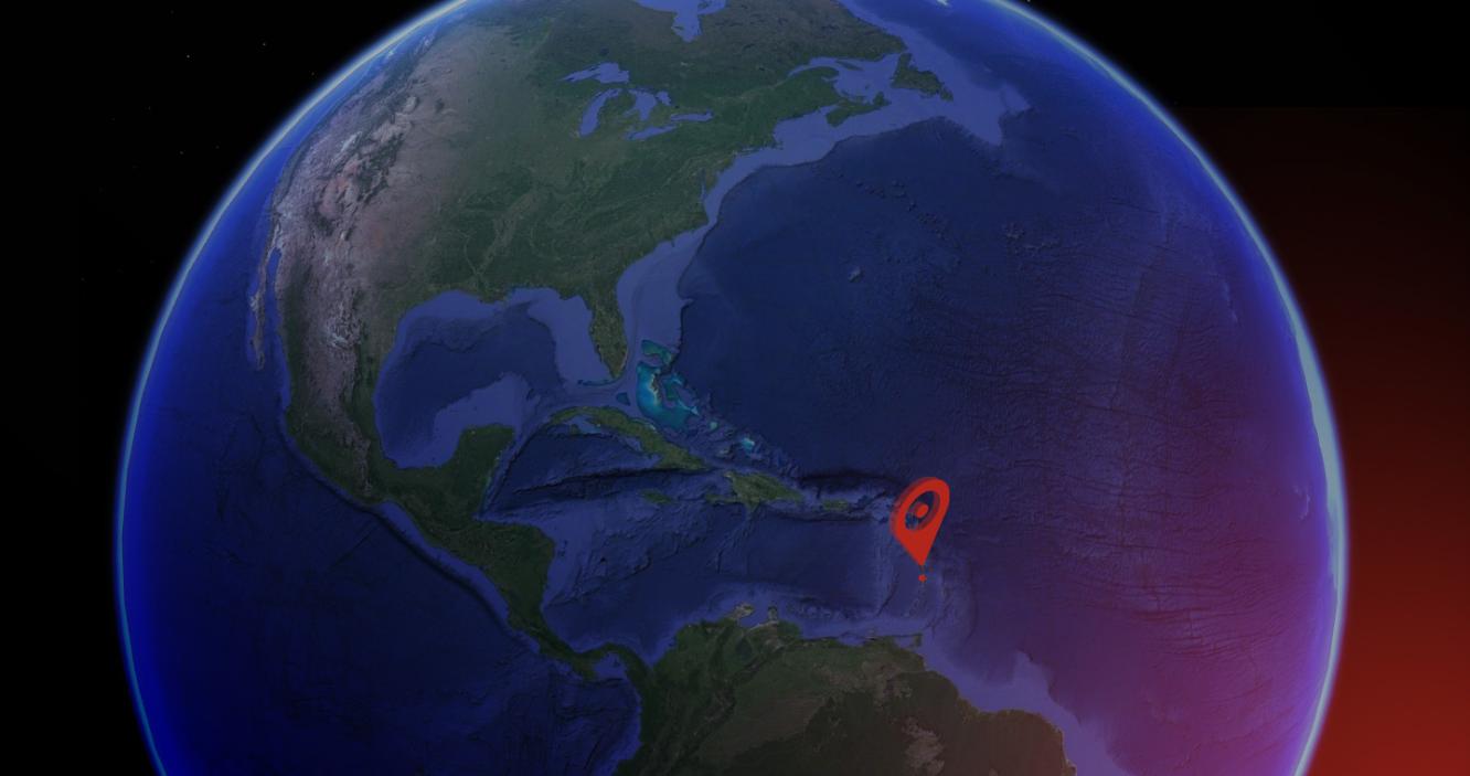

e-GEOS will provide the Government of Saint Lucia a complete “geo-information center” on the island combining the capacities of the Italian COSMO-SkyMed satellite constellation with data generated by weather radar and the company’s know-how in the strategic sector of emergency mapping.
The Caribbean Community Climate Change Centre, charged to manage the contract, also contributed to the successful installation of the Early Warning System.
The new “geo-information center” and related platforms and services will allow the local authorities to increase the alert capacity in case of extreme weather events, and to provide a rapid evaluation of damage after the event itself.
The center will be operated by the SLUMET (Saint Lucia Meteorological Services) Weather Centre on St. Lucia and by the National Emergency Management Organization (NEMO), responsible for managing emergencies.
“We are extremely proud to have equipped the Government of St. Lucia with an Early Warning System at the forefront of space technology. The Geo Information Center installed is, in fact, a very advanced solution able to provide the user with highly specialized technological skills, relying on a complete and efficient on-site asset. This experience opens up a new way of exporting geoinformation technological abilities where they are promptly needed”.
Bruno Versini, e-GEOS COO.