


.png)
The first satellite maps have been published under the "Rapid Mapping" Copernicus Emergency Management Service (EMS) of the European Commission, delivered by an international consortium managed by e-GEOS.
This is the first time the service has been activated during the Coronavirus emergency.
In this case, the maps will provide support to the Civil Protection operating on the territory of the Municipality of Turin. As a result of the lockdown measures imposed by the Government to limit social activities and contain the epidemic, the Civil Protection must always have an up-to-date picture of the situation in the territory and public spacesin preparation for the PHASE-2 of the emergency.
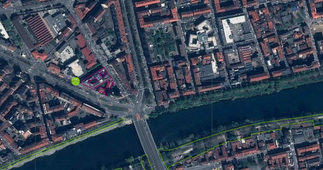
In the maps, the areas of interest identifiable by satellite images mainly consist of hospital areas and mobile facilities, outdoor markets, parks and the relevant outbuildings.
As regards to hospital areas, the maps allow health and civil protection authorities to conduct an evolutionary census of the different typologies of mobile facilities. The combination such data with the ones from the census sections also allows identifying those structures affected by a greater potential user area, even in relationship with the population age, so as to be able to highlight possible overcrowding and critical situations.
As regards to outdoor markets it is possible to identify the access roads, the areas of relevance, the available areas and the maximum access density of citizens. The gradual reopening of the outdoor markets, and also of any indoor markets whose location is indicated by the Local Authorities, can therefore be objectively and uniformly managed by those same Authorities. The same data typologies will also be used to map parks and villas.
The Copernicus programme,coordinated by the European Commission in collaboration with the European Space Agency (ESA) and with the contribution of the Italian Space Agency (ASI), is aimed at monitoring the environment and at mitigating the effects of climate changes, contributing to the management of humanitarian emergencies, natural disasters and population safety.
The EMS is active 24 hours a day, 365 days a year and is a service aimed at processing and making available to the European Commission satellite maps of areas affected by natural disaster or humanitarian crises, within a few hours from the activation of the service by the authorized user.