
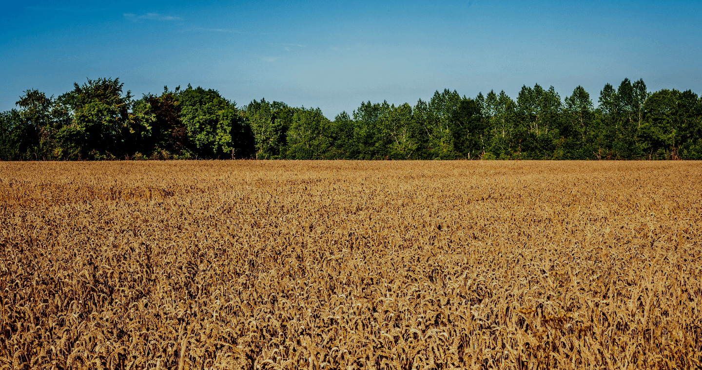
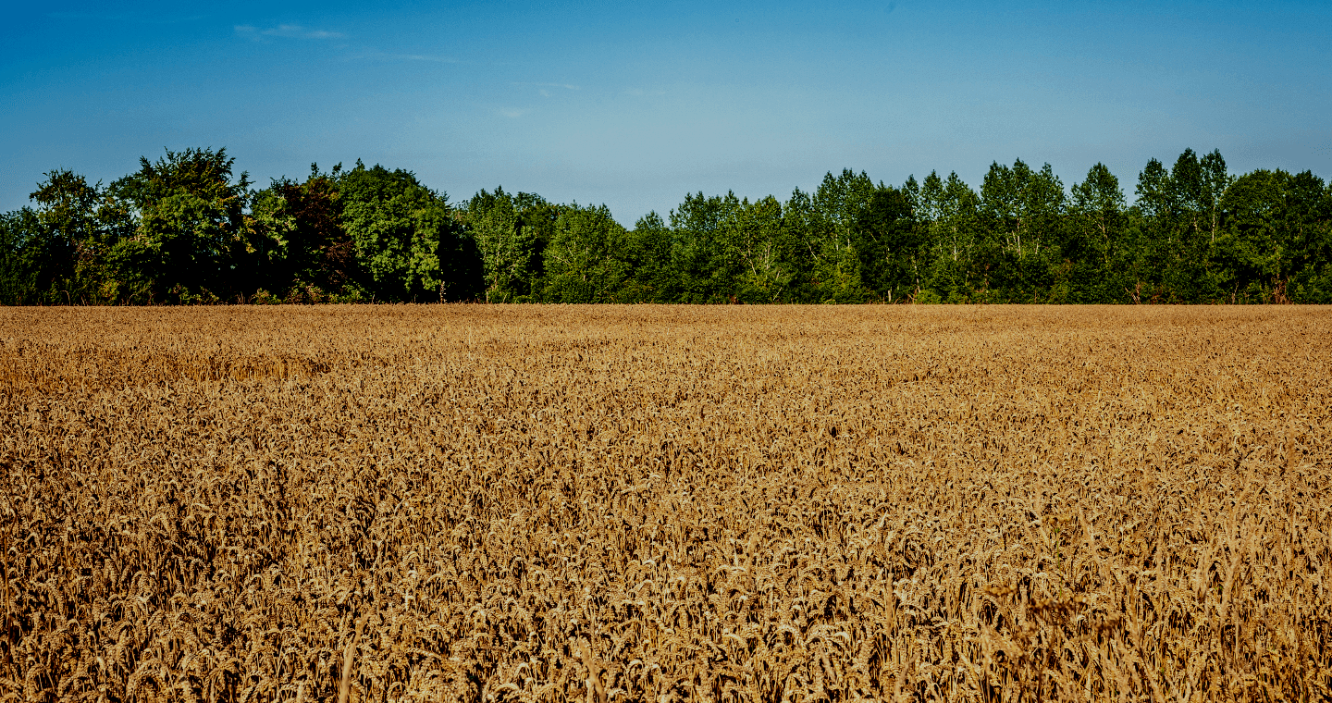

The datura is one of the farmers' nightmares. On the one hand, the plant is particularly toxic to humans and animals, on the other hand it is extremely invasive and easily takes root near to edible plants in vegetable gardens and cultivated fields. Buckwheat crops, whose development cycle perfectly coincides with that of the datura, are one of its preferred targets.
This is why farmers have long been looking for a solution to detect datura and thus guarantee maximum crop safety and prevent any loss of yield. But how do you quickly find datura in large plots of land?
Last August, the Union of French Organic Farmers (UFAB, Union Française d'Agriculture Biologique), a subsidiary of the Le Gouessant group , successfully tested the capabilities of GeoAdventice, the tool developed by Telespazio France to detect datura, in a test area of buckwheat crops in the French department of the Loire-Atlantique.
GeoAdventice, using a combination of different technologies, is able to detect the invasive plant in a few days. Aerial images of cultivated fields are acquired by drones and are analysed first by artificial intelligence algorithms, and then by a team of experts, which validates the results.
Within three days, the survey maps of GeoAdventice – with all the information needed to locate and eradicate datura – are accessible via a simple smartphone app, which can be used directly in the fields.
"The goal of this project is to geolocate the datura plants in the soil to eradicate them before harvest and thus prevent contamination. This promising collaboration with Telespazio France allows us to envisage covering, in the next season, all our areas where buckwheat is cultivated.”
Thomas Méar, UFAB technical manager
Last year GeoAdventice has already demonstrated its effectiveness by helping popcorn producer Nataïs defeat the datura. In the summer of 2019, Telespazio France used no less than eight drones to fly over the 7,000 hectares of company maize crops and locate invasive plants.
Last July, instead, Atos, a leading company in digital transformation, chose to integrate GeoAdventice into the Mundi service and thus offer a more complete service to its users.