

If something works exactly the same way as it did 100 years ago it suggests that the time is ripe for innovation, also in the world of aviation.
This is the driving spirit behind ICARUS, a project coordinated by the Telespazio group within the ambit of the SESAR Joint Undertaking initiative and the European Union’s Horizon 2020 research and innovation programme.
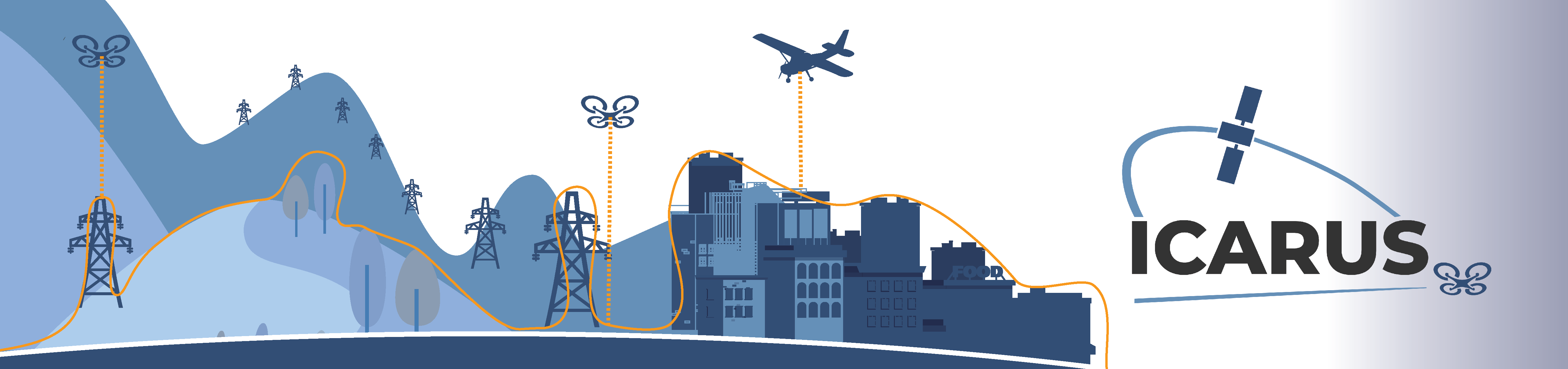
ICARUS has been set the great challenge of defining the so-called Common Altitude Reference System (CARS), an altitude monitoring system applicable both to drones (or Unmanned Aerial Systems - UAS) and to manned aircraft within airspace known as VLL, an acronym that stands for Very Low Level - i.e. lower than 120 metres.
The project will be presented at 2:30 pm on 29 April by Corrado Orsini, Technical Coordinator of the project for Telespazio, during a digital event in the context of the Sesar Digital Academy.
How ICARUS works
Since the earliest days of aviation, altitude - to ensure vertical separation - is measured through changes in pressure detected by an altimeter, an instrument that retains its functionality and effectiveness but is no longer suitable for today's needs.
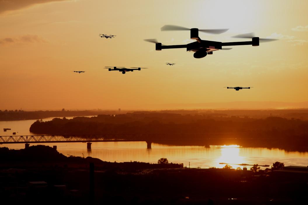
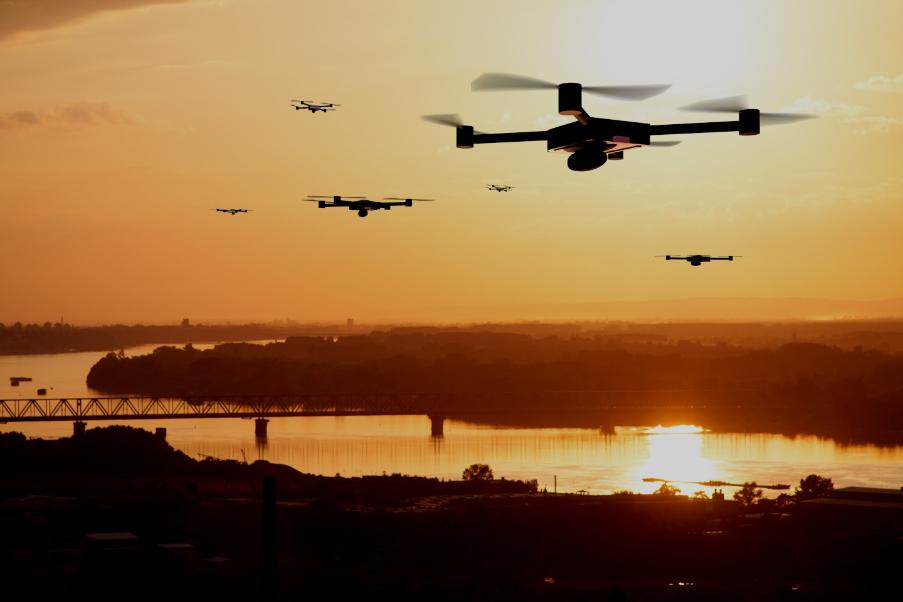
On the one hand the challenging urban environment, often notable for its high variations in pressure, can cause altimeter readings to be inaccurate. On the other, the growing diffusion of drones, and the resulting need to manage their traffic, creates the need for more effective instruments.
ICARUS responds to these needs with an innovative solution based on satellite positioning systems (Global Navigation Satellite Systems, GNSS) receivers which are already installed on drones.
By using multi-constellation and multi-frequency GNSS signals, also integrated with weather and geoinformation data, ICARUS is able to offer sub-metric accuracy in measuring height relative to ground level and therefore to enable flight operations in environments with high traffic density.
In particular, ICARUS makes it possible to accurately and precisely measure the vertical distance from the ground itself and from obstacles on the ground, sending alerts to the pilot if there is the possibility of collision with other aircraft or the surrounding environment. The solution also offers pilots of drones and civil aircraft an altitude conversion system, from barometric to geometric altitude and vice-versa.
With its innovative approach, therefore, ICARUS has the capability to win the new challenges of integrating drones within VLL airspace, and not only.
The solution also uses drones to advance new paradigms for the entire aviation sector. Once the solution's functionalities within the UAS context have been demonstrated, the project plans to also use the platform in manned aviation in both the VLL environment and - prospectively - also beyond this limit, enabling integration between manned and unmanned aircraft.
Telespazio and the new frontier of drones
The drone sector - or more correctly the remotely piloted aircraft sector - is one of the main challenges that Telespazio has taken on in its drive towards future growth.
This will be pursued both by developing innovative new business solutions and end-to-end services and also by supporting the definition of the new U-Space world, the basis of the future development of the drone market, through the company's participation in research and development projects promoted by SESAR JU, for example ICARUS and AURA.
In this context the company is one of the founders of D-Flight, established in 2018 with ENAV and Leonardo to develop the first national UTM Unmanned Traffic management system with the ability to cater both to traditional air traffic requirements and the growing application needs of UAS.
Last October, as part of a desire to increase its portfolio of services also in new sectors like UAS, Telespazio successfully tested T-DROMES - a platform designed to manage drone fleets and to cover all phases of a mission - in a series of test flights carried out in collaboration with Leonardo, ENAC and the Bambino Gesù Children's Hospital.
Aided in particular by T-Dromes, the drones flew between two hospital locations over 30 km apart, between the S. Marinella test centre and the Palidoro analysis centre and back, using an automatic control mode beyond the visual line of sight (BVLOS) of the operator.
Telespazio France has for some time also been using drones in the agricultural sector with GeoAdventice, a platform that combines UAS with geoinformation data to control datura infestations, a nightmare for French farmers.