GAF AG and BKG intensify their cooperation regarding the provision of multi-source remote sensing data

GAF AG has won an international tendering process issued by the German Federal Agency for Cartography and Geodesy (BKG) for the provision of remote sensing data.

12 November 2020

GAF AG, an e-GEOS company - an ASI (20%) Telespazio (80%) company  - and one of the largest European providers of geographic information services with a focus on earth observation, has won an international tendering process issued by the German Federal Agency for Cartography and Geodesy (BKG) for the provision of remote sensing data. The framework agreement concluded on that basis includes consulting services and the granting of exclusive access to the BKG and its users to high-resolution and very high-resolution optical satellite images and radar images.

With its satellite-based crisis and situation service, the BKG makes an indispensable contribution to providing straightforward and rapidly-prepared information products derived from geodata and remote sensing to all the federal institutions. This enables a rapid response in the case of security-relevant and critical challenges.

“We are very pleased about the intensification of our cooperation with BKG. GAF has many years of experience in multi-source data distribution. The professional procurement of commercially available satellite data, based on long-term distribution contracts and close partnerships with all well-known satellite operators, is one of the key strengths of GAF”. Sebastian Carl, CEO of GAF
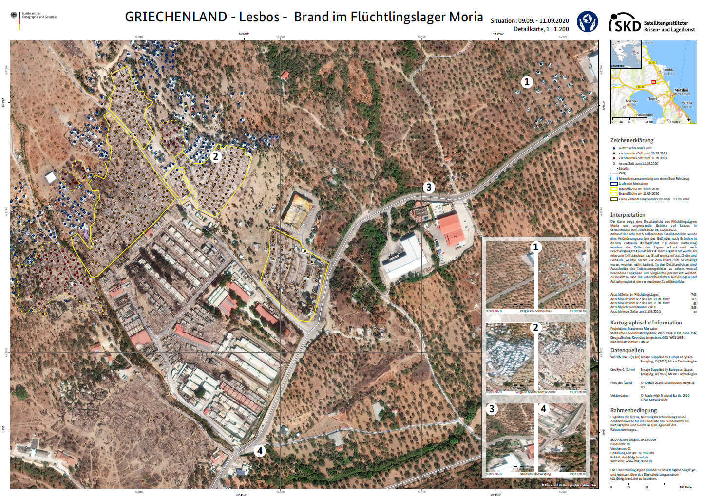
The cooperation with GAF is designed to ensure the fastest possible acquisition and delivery of remote sensing data, in normal and emergency modes, for especially time-critical activations.

With its Service-on-Demand Team, GAF provides permanent on-call and operational readiness and advice. The team has in-depth knowledge of all the relevant tasking and ordering options, and outstanding experience that allows it to fulfil the underlying user-needs with the utmost efficiency.

Its procedures and process chains for consulting procurement and delivery are well-established and have been quality assured and certified pursuant to ISO 9001:2015 for many years.

An especially crucial part of the contract is the assessment of user requirements and the selection of suitable image data that best covers the requirements of the respective activation. The data search, availability assessment and associated communication with the provider are carried out by GAF.

Individually-coordinated licence management enables the data to be used and also disseminated to other relevant users. This demand driven and source agnostic data is served up on a 24/7/365 basis and can easily be adopted to specific user-requirements

Other News & Stories

11.03.2024
The English edition of "Space In our Hands" presented by Telespazio and the Bocconi SEE Lab

The English edition of Space In our Hands, published by Mimesis International, was presented in Milan on 7 March. The book, already available in Italian in a version published by Hoepli, is the result of a project of Telespazio and of the SEE Lab (the Space Economy Evolution Lab of the SDA School of Management) and is dedicated to sustainability, an increasingly hot topic both on Earth and in space.

07.03.2024
Telespazio Germany and constellr: A cooperation to improve our planet’s health

Telespazio Germany and constellr have signed an agreement for the provision of Telespazio’s ground segment software solution, EASE-Rise, to operate constellr’s first satellite. The upcoming launch, scheduled for later this year, aims to provide global land surface temperature (LST) imagery, contributing to the fight against climate change.

27.02.2024
Telespazio is taking part in “Drones and advanced air mobility: flying into the future, between challenges and opportunities”

Next Wednesday, 28 February, Telespazio will be among the participants in the meeting “Drones and advanced air mobility: flying into the future, between challenges and opportunities”, organised by the Drones and Advanced Air Mobility Observatory of the Politecnico di Milano, which Telespazio has been a partner of since 2021.

15.02.2024
The ASI AGILE satellite has re-entered the atmosphere, after being managed in orbit for 17 years by Telespazio

After 17 years of activity, AGILE (Astrorivelatore Gamma a Immagini LEggero, Light Imager for Gamma-ray Astrophysics), the scientific satellite of the Italian Space Agency (ASI), has re-entered the atmosphere. The “passivation” of the satellite, as required by international standards, was correctly carried out on 18 January by the Telespazio technicians in the Fucino Space Centre.