The Matera Space Centre acquired the first data from the Sentinel-2A satellite

Matera  30 June 2015

The Matera Space Centre of e-GEOS supported the IOV phase (In-Orbit Validation Phase) verifying the operation of the platform and the optical instruments on board the European Space Agency's (ESA) Earth observation satellite Sentinel-2A, launched last June 23 from the European spaceport in Kourou (French Guyana).

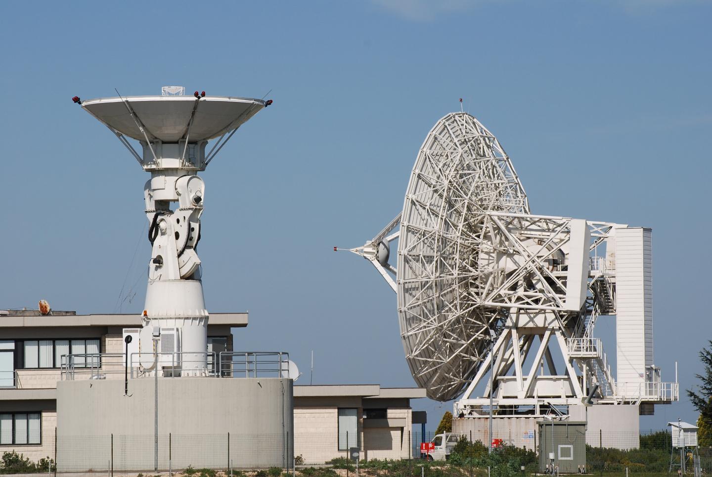
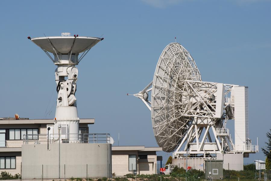
On June 26, the Matera Space Centre received the first on-board telemetry and navigation data in X-band.

The Matera Space Centre of e-GEOS is one of three X-band core ground stations of the Copernicus Space Component Ground Segment. Matera was chosen as the first station to be involved in the critical IOV and Commissioning of the Sentinel-2A mission, which began immediately after completion of the Launch and Early Orbit phase activities.

Under the Copernicus programme, the Matera Space Centre also acquires the data from the Sentinel-1A radar mission, and processes in Near Real Time the products of both missions, which will be joined by Sentinel-1B and Sentinel-2B satellites planned to be launched during 2016.

Sentinel-2A is a multispectral optical satellite in polar orbit for high resolution monitor of the territory. It will provide images of the vegetation cover, soil and water, as well as information in case of emergencies under the Copernicus programme, led by the European Union in cooperation with ESA.

Other News & Stories

08.09.2025
The Lario Space Centre hosts the third edition of LarioSpace

Astronauts, executives and space industry experts will gather on September 11–12 for LarioSpace 2025, an international event on innovation and technologies in the New Space Economy, hosted at Telespazio’s Lario Space Centre on Lake Como.

07.08.2025
Towards the Digital Twin of Italian Soil

Leonardo, through e-GEOS, a company owned by the Italian Space Agency (20%) and Telespazio (80%), will support the Department for Sustainable Development (DiSS) of the Italian Ministry of the Environment and Energy Security (MASE) in the development of a Digital Twin of the Italian territory. The initiative falls under PNRR investment M2C4 I.1.1, which focuses on the development of an advanced monitoring and forecasting system. This high-resolution digital model of the terrain, built using airborne laser surveys (LiDAR) and aerogravimetric data, will serve as a strategic asset for understanding the morphology of the land and will lay the foundation for future Digital Twins capable of simulating and further studying its behaviour.

31.07.2025
U-ELCOME: Hospital Drugs Delivered by Drones Take Off in Abruzzo

The operational phase of the drone-based hospital drug delivery service officially launched today in Abruzzo. The initiative is part of the European U-ELCOME project (U-space European COMmon dEpLoyment), co-funded by the Horizon programme, and aims to foster the widespread adoption of U-space services in European airspace, enabling safe and coordinated operations alongside traditional aircraft.

24.07.2025
Telespazio successfully completes the LEOP of EUMETSAT’s MTG-S1 weather satellite

Telespazio has successfully completed the LEOP (Launch and Early Orbit Phase) operations for the MTG-S1 weather satellite of EUMETSAT, launched on July 1st from Cape Canaveral.