

The Copernicus programme: Sentinel-2A successfully launched into orbit

Guyana  23 June 2015

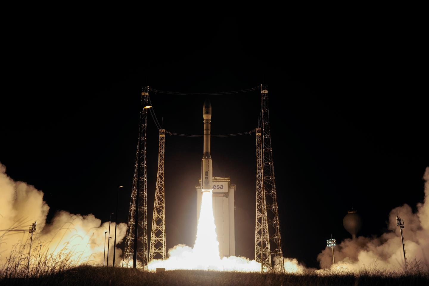
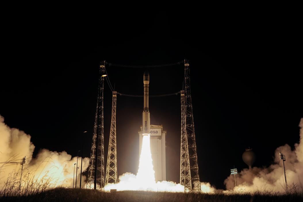
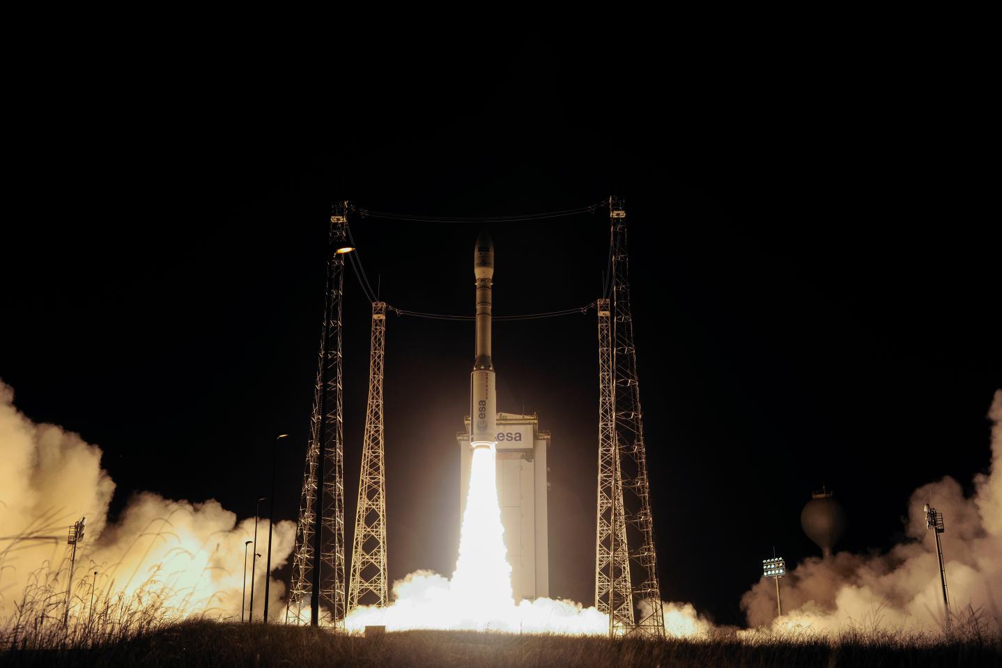
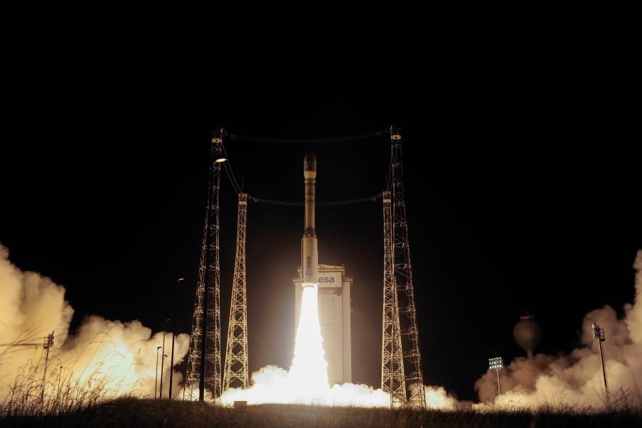
Sentinel-2A, the second satellite in the European “Copernicus” environmental monitoring programme, was launched successfully on June 23 at 3.52 (CET) from the European spaceport at Kourou, in French Guyana, using an Arianespace VEGA carrier.

The Matera Space Centre, managed by e-GEOS, one of the three stations in the Copernicus program’s Core Ground Segment, is ready to start receiving data from the new satellite.

Sentinel-2A is a polar-orbiting, multispectral satellite for high-resolution land monitoring. It is able to provide imagery of vegetation, soil and water cover, as well as providing information for emergency services. The first mission in the programme, Sentinel-1A, was launched on April 3, 2014.

ESA is developing five families of Sentinel satellite missions specifically designed for the operational needs of the Copernicus programme. The Sentinels will provide high-resolution radar and optical images of our planet.

Telespazio participates in the consortium of European industries to supply the Payload Ground Segment (PDGS) of Sentinel-1 and Sentinel-3, with Telespazio VEGA Deutschland, and is responsible for the design, development, integration and validation of the entire segment, as well as putting into operation the Centre for processing and storing data for both missions.

More specifically, the Telespazio subsidiary VEGA Deutschland will be providing the European Space Centre ESOC with support on Flight control, Flight Dynamics and ground segment engineering for Sentinel-2A, contributing to the development of data processing software.

Telespazio also participates in the development of the Mission Control System of Sentinel-1, Sentinel-2 and Sentinel-3, Sentinel-5 Precursor, under the framework agreement for the software development of ground systems for ESOC, ESA's Space Operations Centre. Finally, Telespazio provide support to the operations of the Control Centre during the pre and post launch of the Sentinel satellites.

Copernicus is the programme for the establishment of a European capacity for Earth Observation, coordinated and managed by the European Commission. Copernicus programme provides accurate, timely and easily accessible information that enables the monitoring of the earth, marine and atmospheric environments, understanding and mitigating the effects of climate change and ensuring civil security.

Other News & Stories

20.10.2026
e-GEOS has built the new satellite laser ranging station at the Italian Space Agency’s Matera Space Centre

The new Matera Satellite Laser Ranging (MSLR) infrastructure, developed as part of an Italian Space Agency (ASI) project, supports space geodesy through highly precise measurements. The project builds on the e-GEOS decade-long expertise in laser ranging.

15.10.2026
Telespazio’s polar site in Sodankylä is ready for operations

Acquiring satellite data and making it available to those who run space missions is the job of the two S/X-band antennas that Telespazio has installed in Sodankylä, Finland, at the Arctic Space Centre operated by the Finnish Meteorological Institute (FMI). Strategically located, the site is a benchmark for all of Finland: it hosts the country’s main infrastructure and works with the leading international players in space.

09.10.2026
Telespazio Benelux to build the ground infrastructure for ESA’s lunar ice-hunting mission

Telespazio Benelux will lead a European consortium, with EarthLab Luxembourg and Astro42, to deliver and operate the control centre for PROSPECT, ESA’s mission to drill for water ice and other volatile chemicals at the lunar south pole, with a drill developed and built by Leonardo.

08.10.2026
e-GEOS: Board of Directors appoints Cristina Sgubin as Chief Executive Officer

The Board of Directors of e-GEOS, a joint venture between Telespazio (80%) and the Italian Space Agency (20%), has unanimously appointed Attorney Cristina Sgubin as Chief Executive Officer of the company. Sgubin will also be responsible for Telespazio’s Geo Information Line of Business.