Livio Rossi e-GEOS is the new president of AIT

Rome  19 December 2018

Livio Rossi, Senior Business and Development Manager at e-GEOS, is the new president of the Italian Society of Remote Sensing (AIT). He was elected receiving 80% of the votes, and is the successor to Prof Piero Boccardo.

Founded in 1986, the AIT’s goal is to support development and diffusion of a Remote Sensing culture in Italy. The Society, which has always been active on a scientific and technological level in Italy, quickly attained a significant position in Europe. In addition to organising courses and international events on the topic, AIT publishes the prestigious “European Journal of Remote Sensing” magazine, in collaboration with publisher Taylors & Francis.

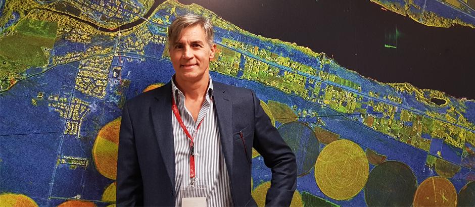
The election of Livio Rossi, one of the society’s founders, is something completely new. For the first time since its foundation, a representative of the industrial world has achieved the top position. Mr Rossi will take office as President on 1st January 2019 and will remain in office until 31st December 2022.

His election is a reason to be proud for e-GEOS, a joint-venture between Telespazio (80%) and ASI (20%), one of the leading European players in the field of geo-information. This new presidency will be a further opportunity for AIT to broaden its horizons towards National and European Technological Agencies, central public administrations, and the business world.

Other News & Stories

08.09.2025
The Lario Space Centre hosts the third edition of LarioSpace

Astronauts, executives and space industry experts will gather on September 11–12 for LarioSpace 2025, an international event on innovation and technologies in the New Space Economy, hosted at Telespazio’s Lario Space Centre on Lake Como.

07.08.2025
Towards the Digital Twin of Italian Soil

Leonardo, through e-GEOS, a company owned by the Italian Space Agency (20%) and Telespazio (80%), will support the Department for Sustainable Development (DiSS) of the Italian Ministry of the Environment and Energy Security (MASE) in the development of a Digital Twin of the Italian territory. The initiative falls under PNRR investment M2C4 I.1.1, which focuses on the development of an advanced monitoring and forecasting system. This high-resolution digital model of the terrain, built using airborne laser surveys (LiDAR) and aerogravimetric data, will serve as a strategic asset for understanding the morphology of the land and will lay the foundation for future Digital Twins capable of simulating and further studying its behaviour.

31.07.2025
U-ELCOME: Hospital Drugs Delivered by Drones Take Off in Abruzzo

The operational phase of the drone-based hospital drug delivery service officially launched today in Abruzzo. The initiative is part of the European U-ELCOME project (U-space European COMmon dEpLoyment), co-funded by the Horizon programme, and aims to foster the widespread adoption of U-space services in European airspace, enabling safe and coordinated operations alongside traditional aircraft.

24.07.2025
Telespazio successfully completes the LEOP of EUMETSAT’s MTG-S1 weather satellite

Telespazio has successfully completed the LEOP (Launch and Early Orbit Phase) operations for the MTG-S1 weather satellite of EUMETSAT, launched on July 1st from Cape Canaveral.