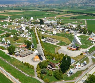
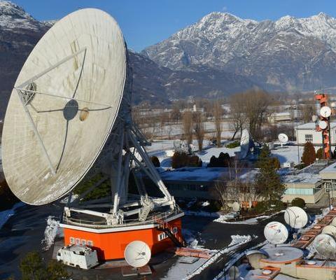
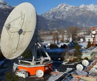
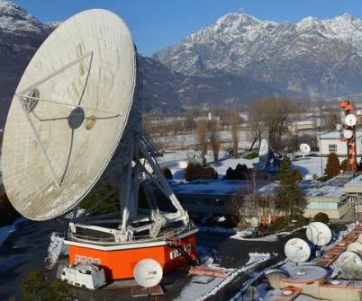
The Matera Space Centre of e-GEOS offers services and products for Earth observation for primary public and private clients and partners.
For the Italian Space Agency (ASI) Matera Space Centre operates the Italian Civil Ground Segment (I-CUGS) of the first-and second-generation COSMO-SkyMed satellites, the constellation financed by ASI and the Italian Ministry of Defence and Ministry of Education, Universities and Scientific Research.
The Space Centre is the main node of the programme's civil infrastructure and has, since the launch of the first satellite in 2007, ensured its operational and maintenance services as well as the development of related applications.
For the European Space Agency (ESA) it acquires, elaborates, stores and distributes data for a variety of international satellite missions: ERS-1, ERS-2, ENVISAT, ALOS, MODIS, JERS, MOS-1, Landsat-5, Landsat-7, and, from 2013, Landsat-8.
Since 2014, Matera Space Center has been one of the stations in ESA's Core Ground Segment for the reception and near-real-time processing of radar data acquired by the Sentinel 1 mission, as part of the Copernicus European Earth observation programme and essential for providing services for monitoring of the land, the oceans and the atmosphere, and for the management of emergencies.
For the European Maritime Safety Agency (EMSA) it carries out activities of acquisition and elaboration of data from the missions Sentinel-1, Radarsat and COSMO-SkyMed and services of maritime surveillance (oil spill and vessel detection). The information sent to the EMSA, within 30 minutes of the satellite passing, enables the monitored of oil pollution in the seas and the identification of ships responsible for illegal activities.
Lastly, in regards to e-GEOS contracts with public and private national and international end users, the Matera Space Centre conducts value-added data processing activities including orthocorrection, image mosaicking and the extraction of digital elevation and terrain models, starting from optical and radar data collected both by aircraft and satellite, with the aim of managing and monitoring the area, and support activities in.